At mapping wildfires, Google Maps is going better day by day
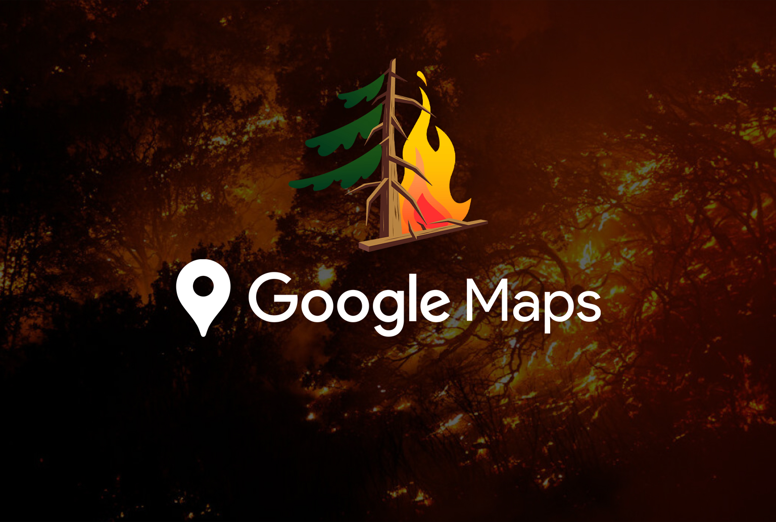
It is really good news that Google Maps is getting better at mapping wildfires. By this, it is easy to find the latest information about wildfires.
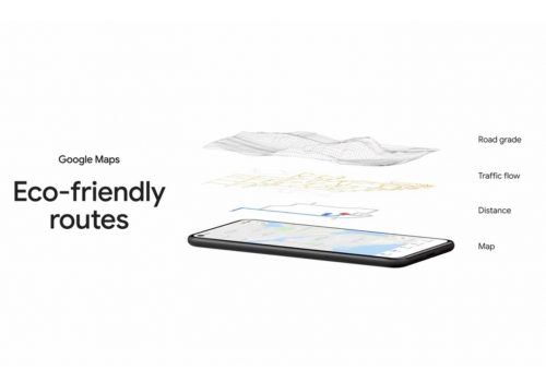
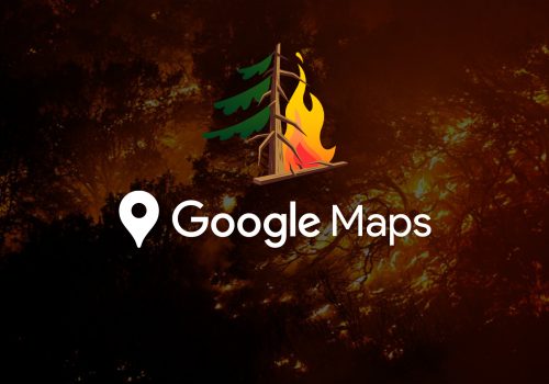
On Wednesday, Google said it had added a new fire layer to their map, allowing users to see the latest fire news, which could be essential during the fire season.
This google map will contain the number of acres burned in the united states, road closures, and evacuations, and google maps are considering expanding this feature to Australia later this year.
There are many existing levels to choose from on google maps, one of them which will provide information on the hitch covid-19 and the other will be able to guide the bike. Google also informed that over a billion people use google maps each month
Google maps have already been able to see the boundaries of some wildfires, with Google launching the use of national ocean and atmospheric administration satellite data last year.
Product manager Can Comertoglu said that Hourly refresh fire details are available from google maps, the map layer will be available on android smartphones this week, and wildfire on iPhone and PC in October.


Related News
European union declared a new rule to require USB-C chargers
Soft Gudam : The European Union declared a new rule to require USB-C chargers. Apple isn't happy about…
At mapping wildfires, Google Maps is going better day by day
Soft Gudam : It is really good news that Google Maps is getting better at mapping wildfires. By…

Facebook has decided to pause the button on conventional Instagram kids apps.
Soft Gudam : Facebook now decided to pause the brakes on Instagram for kids. Head of Instagram, Adam…

YouTube will block all anti-vaccine misinformation
Soft Gudam : YouTube has decided to remove all anti-vaccine misinformation. YouTube says the approved vaccine will exclude…